We are Jussi Ronkkainen and Yu Zheng, Ph.D. students at the University of Eastern Finland (UEF), with research interests in agriculture and climate change. As part of our ongoing efforts to explore innovative tools for environmental monitoring and sustainable land management, we are excited to share the launch of our new drone-based service initiative.
Thanks to the support of the Draft program, we received 1,000 euros in funding to pilot our idea. With this support, we have acquired a compact, yet powerful drone equipped with advanced imaging capabilities.
Why Drones? A Versatile Tool for Modern Challenges
Drone technology has rapidly advanced in recent years, becoming an essential tool offering innovative solutions across a wide range of industries. Our goal focuses on but not limited to precision agriculture and environmental monitoring providing cost-effective, efficient, and environmentally friendly services Here are just a few of the many applications:
- Crop Health Monitoring: Drones equipped with hyperspectral or multispectral cameras can detect early signs of plant diseases or drought stress—often before symptoms are visible to the naked eye.
- Efficient Chemical Application: Drone-based spraying systems can reduce chemical usage by 30–50%, minimizing environmental impact, lowering costs, and reducing CO₂ emissions compared to traditional tractor-based methods.
- Seed Spreading: Drones can be used for reforestation or cover crop seeding, especially in hard-to-reach areas.
- Environmental Surveys: Ideal for field mapping, biodiversity monitoring, and habitat and population assessment.
- Disaster Response: Drones assist in forest fire monitoring, search and rescue operations.
- Utility Inspections: Monitoring building condition, power lines, pipelines, ditches and other infrastructure in challenging terrain or seasons.
- Logistics and Delivery: Exploring the potential for small-scale payload transport in rural or hard-to-access areas
Our Pilot Project: Testing in the Finnish climate
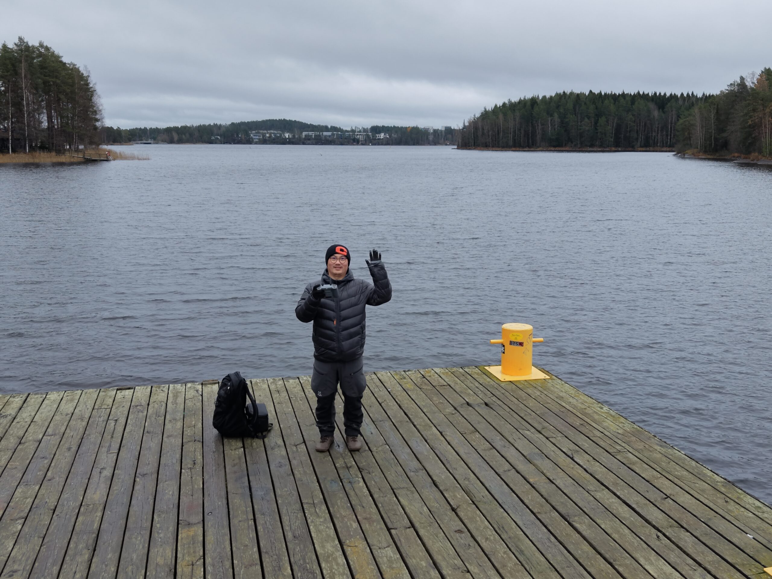
With the Draft grant, we are testing the feasibility of drone operations under Finnish environmental conditions, including low temperatures, strong winds, and limited daylight during winter months. These real-world challenges are essential to understand before scaling up drone services in the region.
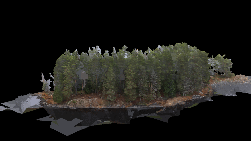
In the past month, we have been working on our first 3D orthophoto map of an island in Kuopio, using our compact drone. This high-resolution map, which is nearing completion, highlights the potential of drone-based mapping for land use planning, environmental monitoring, and research applications.
What’s Next?
Our long-term vision is to develop a flexible drone service platform that supports a variety of sectors — from precision agriculture and environmental science to construction, logistics, and public safety. By combining our scientific expertise with cutting-edge drone technology, we aim to offer data-driven solutions that are both practical and sustainable.
We’re incredibly grateful to the Draft program for supporting our first steps. Stay tuned as we continue to explore, test, and expand the possibilities of drone-based services in Finland and beyond.